Explore Our Main Services
Mapping and surveying drones are equipped with high-resolution cameras and GPS technology, making them invaluable tools for creating accurate 3D maps and models. These drones are used in various industries, including construction, mining, and environmental planning, to provide detailed topographic data quickly and efficiently. Imagine a drone soaring over a construction site, meticulously capturing every detail to help engineers and architects design with precision. These drones take surveying to new heights, quite literally, by offering a level of accuracy and detail that traditional methods cannot match. They are also used in archaeological surveys, helping researchers uncover and document historical sites with precision and minimal disturbance to the area. In addition, mapping drones play a crucial role in disaster management by quickly assessing damage and creating maps for rescue and recovery operations.
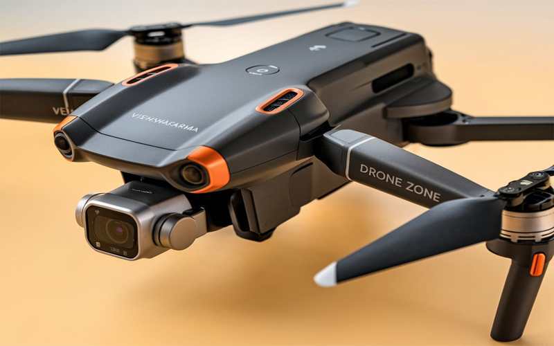
Vishwakarma
Purpose: Land surveys, topographical mapping. Features: RTK GPS, 40-minute flight time, 4K camera.
Read More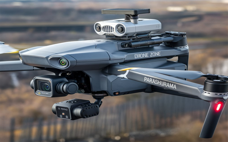
Parashurama
Purpose: Photogrammetry, precise terrain mapping. Features: DGPS support, 35-minute flight time.
Read More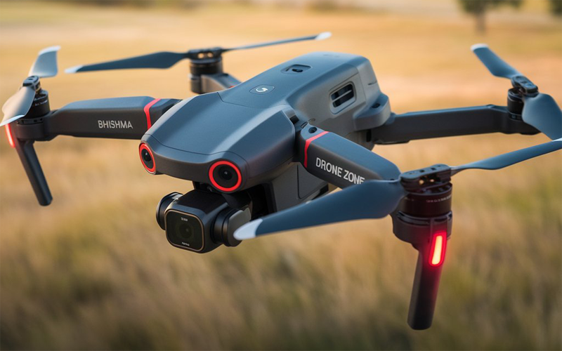
Bhishma
An entry-level surveying drone equipped with a 1-inch CMOS sensor and an integrated RTK module for centimeter-level accuracy. It offers a flight time of up to 30 minutes and is compatible with the GS RTK app for flight planning.
Read More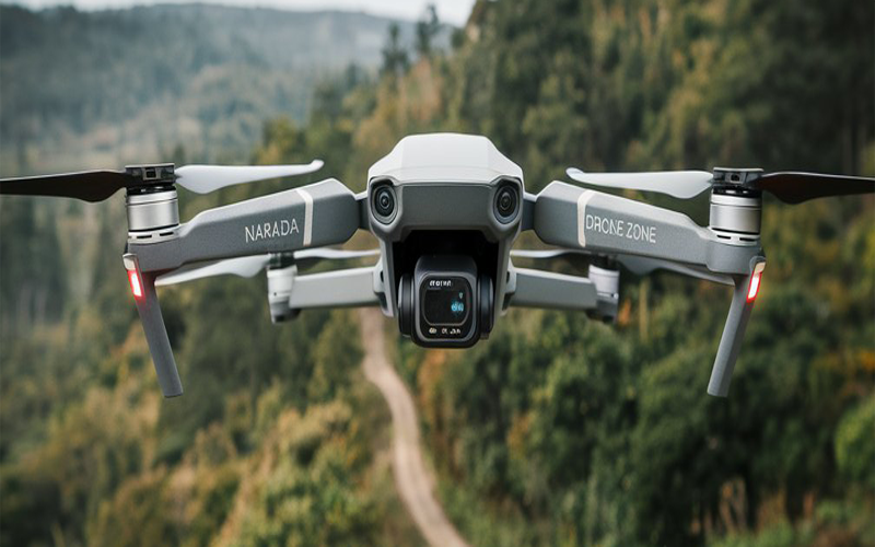
Narada
A professional-grade drone featuring a mechanical shutter to eliminate motion blur, a Micro 4/3” sensor for high-quality imaging, and a flight time of up to 45 minutes. It's suitable for detailed mapping and surveying tasks.
Read More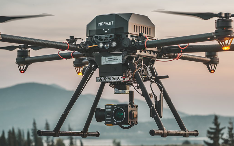
Indrajit
A robust commercial drone capable of carrying multiple payloads up to six pounds. It offers a flight time of up to 55 minutes, triple-channel 1080p video transmission up to 9.3 miles, and RTK module support for high-precision data collection.
Read More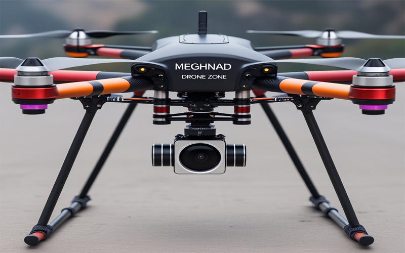
Meghnad
A mid-range professional surveying drone with a 1-inch CMOS RGB sensor capable of 6K resolution. It has a flight time of up to 38 minutes, an 8-level wind resistance feature, and an RTK module for centimeter-level accuracy.
Read More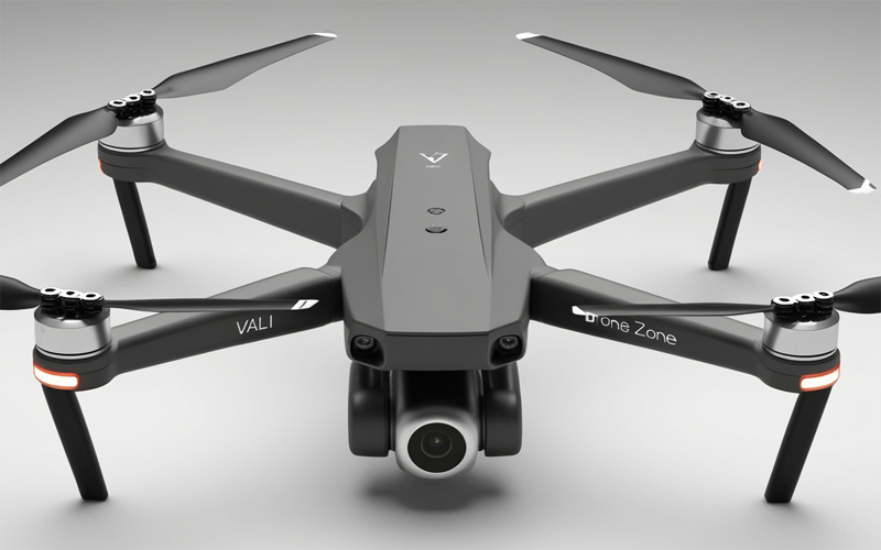
Vali
A high-end fixed-wing drone designed for professional surveying and mapping, offering a flight time of up to 90 minutes and absolute accuracy of 0.6 to 1.5 cm. It supports swappable payloads, including the SODA 3D mapping camera and the Parrot Sequoia multispectral sensor.
Read More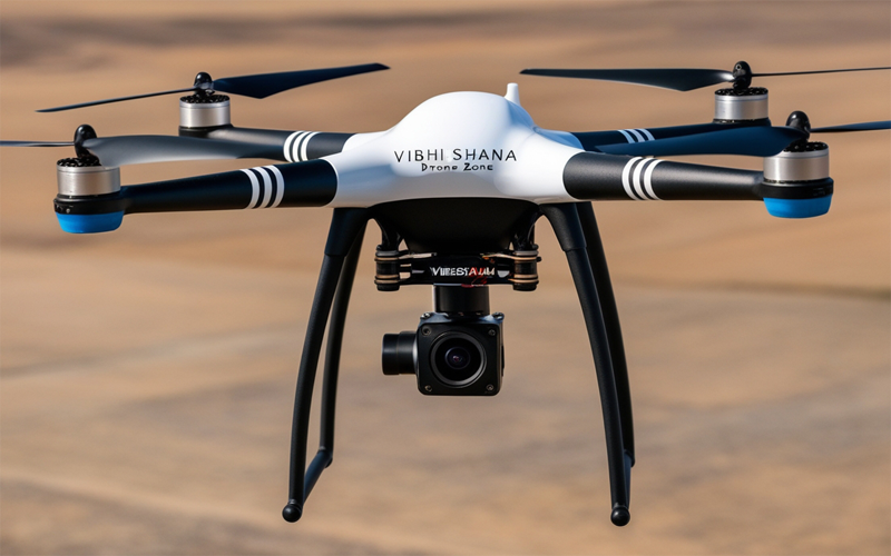
Vibhishana
A fixed-wing drone with VTOL capabilities, suitable for large-area surveys. It features a 42MP camera, a flight time of up to 59 minutes, and can cover over 1,100 acres in a single flight.
Read More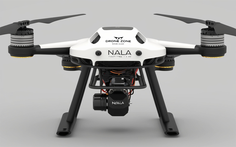
Nala
A modular drone capable of carrying payloads up to 16 kg, with a flight time of up to 50 minutes and a top speed of 137 km/h. It's compatible with various payloads, including LiDAR and mapping cameras, making it suitable for 3D mapping and modeling.
Read More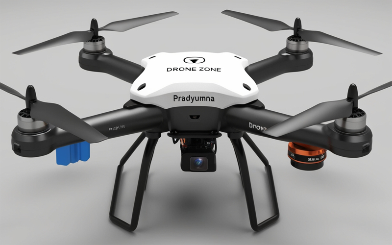
Pradyumna
A versatile drone offering a flight time of up to 55 minutes, advanced AI capabilities, and a maximum payload capacity of 2.7 kg. It's equipped with RTK modules for precise mapping and is compatible with various sensors, including LiDAR and thermal cameras.
Read More