Purpose: extensive surveys and high-precision mapping
Features:
- Professional-grade drone
- Designed for agriculture, mining, forestry, and environmental monitoring over vast areas
- Flight Time: Up to 90 minutes
- Accuracy: 0.6 to 1.5 cm (absolute)
- Payloads: Swappable, including SODA 3D mapping camera and Parrot Sequoia multispectral sensor
- Sensors: RTK GPS, photogrammetry
Base Price: ₹12,00,000 (~$25,000)
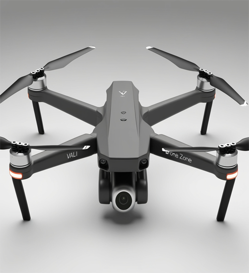
Vali
The Vali drone is a high-end fixed-wing platform specifically designed for professional surveying and mapping tasks. Its unparalleled flight endurance of up to 90 minutes allows it to cover vast areas efficiently, making it an invaluable asset for large-scale operations.
Vali's fixed-wing design ensures stable and precise flight, providing absolute accuracy ranging from 0.6 to 1.5 cm. This precision makes it ideal for tasks requiring detailed and reliable data collection, such as cadastral mapping, forestry analysis, and infrastructure inspection.
The drone supports swappable payloads, enhancing its versatility. It can be equipped with the SODA 3D mapping camera for high-resolution topographic imaging or the Parrot Sequoia multispectral sensor for agricultural analysis and vegetation health monitoring.
With its robust build and advanced features, Vali is designed to meet the needs of professionals in industries like urban planning, environmental conservation, and large-scale land management. Its approximate price of $25,000 reflects its superior capabilities and premium build quality.
Whether you're surveying a cityscape or monitoring agricultural fields, Vali provides the performance and accuracy needed to deliver professional-grade results every time.