Purpose: Land surveys, topographical mapping.
Features:
- RTK GPS for accurate mapping.
- 40-minute flight time for extended operations.
- 4K camera for high-resolution imaging.
- Weight: 16 kg
- Payload Capacity: 7 kg
- Maximum Flight Time: 40 minutes
- Maximum Speed: 45 km/h
- Battery: 15,000 mAh Lithium Polymer
- Control Range: 7 km
- Camera: 4K resolution, 3-axis gimbal
- Sensors: RTK GPS, photogrammetry
Base Price: ₹12,00,000 (~$14,201.89)
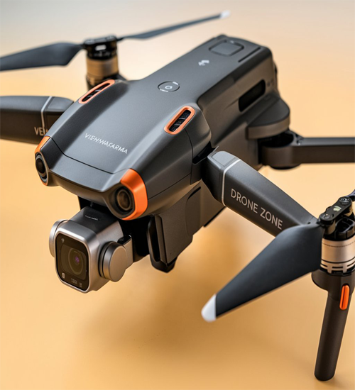
Viswakarma
Vishwakarma drones are optimized for land surveys and topographical mapping, offering unparalleled accuracy and efficiency. They feature RTK (Real-Time Kinematic) GPS, which provides centimeter-level precision for mapping and surveying tasks. With a 40-minute flight time, they are capable of covering vast areas in a single operation, making them ideal for large-scale projects. The integrated 4K camera captures high-resolution images, ensuring detailed visual documentation for analysis and reporting.Their ability to generate accurate maps reduces the time and cost associated with traditional surveying methods. These drones are essential for professionals seeking reliable and efficient tools for spatial data collection.
Mapping and surveying drones have revolutionized the way we gather spatial data, making it faster, more accurate, and cost-effective. These drones are equipped with high-resolution cameras, LiDAR sensors, and GPS technology to create detailed maps and 3D models of various terrains, from urban landscapes to remote wilderness areas. Here’s an in-depth look into the sub-categories of their usage and the specific drones used for each category:
Drones can create accurate topographic maps by capturing detailed aerial images and using photogrammetry software to stitch them together. These maps are essential for various applications, including construction, mining, and environmental monitoring.By capturing images from multiple angles, drones can generate 3D models of buildings, archaeological sites, and landscapes. These models are invaluable for urban planning, heritage conservation, and virtual tours.
Drones can calculate the volume of stockpiles, excavations, and other features by creating detailed 3D models and measuring their dimensions. This is particularly useful in the mining and construction industries, where accurate volume measurements are crucial.Drones are used to monitor and assess environmental changes, such as deforestation, coastline erosion, and habitat loss. By capturing high-resolution images and data, they provide valuable insights for conservation efforts and environmental impact assessments.
Drones can inspect infrastructure such as bridges, roads, and pipelines, identifying damage and wear without the need for costly and dangerous manual inspections. High-resolution cameras and thermal sensors help in detecting structural issues early.In agriculture, drones are used to create detailed maps of fields, assessing soil health, crop growth, and irrigation needs. This data helps farmers optimize their practices and increase yields.