"Discover software solutions that transform drones into powerful tools for precision"
Unlock the full potential of your drones with our advanced software solutions. Our software is designed to enhance every aspect of drone operation, transforming your drone into a powerful tool for precision, whether for aerial mapping, surveying, or high-end photography. With features like real-time data analytics, seamless flight controls, and customizable settings, we enable you to perform complex tasks with unmatched accuracy and efficiency. Elevate your drone’s capabilities and experience the future of flight with the innovative software that ensures every mission is a success.
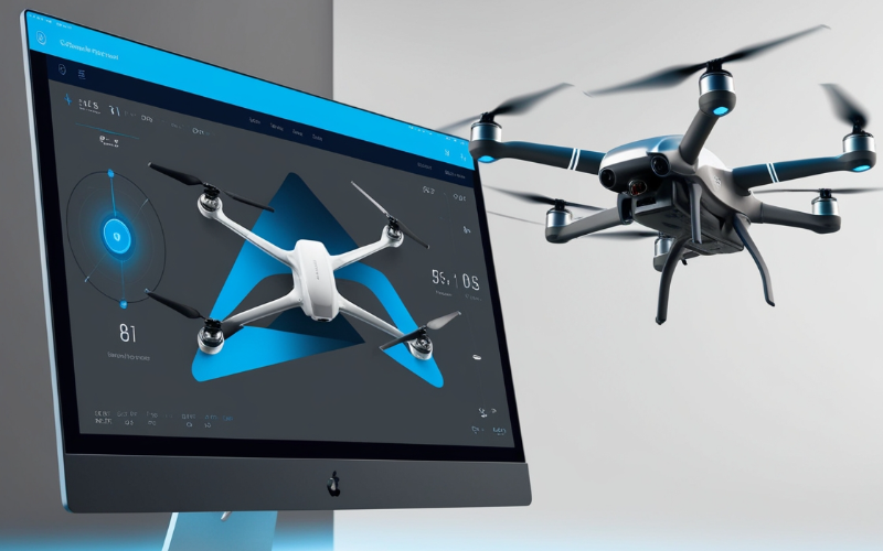
Simulation Software
Real practice, zero risk!
Our simulation software creates a realistic, virtual environment for you to practice drone piloting without any risk of damage. Whether you're a beginner exploring the basics or an expert testing advanced maneuvers, this tool offers the perfect platform. Featuring lifelike flight dynamics and diverse scenarios, you can refine your skills in areas like navigation, obstacle avoidance, and mission planning. It's ideal for training, troubleshooting, and experimenting with new techniques. Save time and resources while gaining confidence to tackle real-world drone operations with ease.
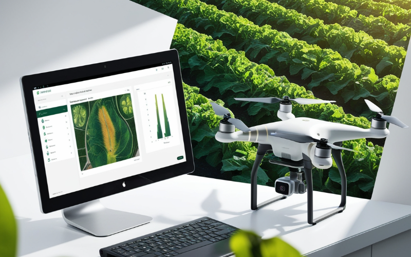
Crop Analysis Software
Smart farming starts here!
Revolutionize agricultural practices with our cutting-edge crop analysis software. By utilizing drone data, it provides insights into crop health, soil conditions, and irrigation needs. Identify potential problems like pest infestations or nutrient deficiencies early and take corrective measures promptly. With features like field mapping, yield prediction, and real-time monitoring, it helps farmers make data-driven decisions. The software is easy to integrate into existing farming workflows, making precision agriculture accessible to everyone. Improve efficiency, reduce costs, and achieve sustainable growth with this powerful farming companion.
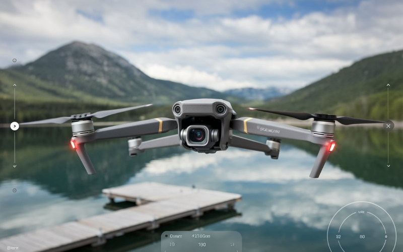
Flight Control Software
Precision in every move!
Take control of your drone like never before with our advanced flight control software. Designed for accuracy and ease of use, it enables seamless navigation, automated route planning, and precise maneuvering. Whether you’re conducting inspections, capturing cinematic shots, or surveying large areas, this software provides the tools you need. Monitor your drone's status in real time, adjust settings on the fly, and ensure smooth operation in challenging environments. Its intuitive interface makes it suitable for both beginners and seasoned professionals. Elevate your missions with unparalleled control and reliability.
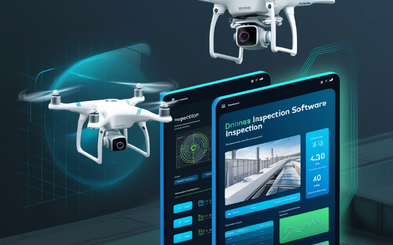
Inspection Software
Streamline inspections with unmatched accuracy!
Our inspection software is designed to revolutionize how you conduct inspections across industries like infrastructure, energy, and construction. With advanced tools for capturing high-resolution imagery and real-time analysis, it simplifies the process of identifying issues such as cracks, wear, or structural anomalies. Whether it’s inspecting bridges, pipelines, or solar panels, our software ensures comprehensive coverage and precise reporting. Save time, reduce costs, and enhance safety by conducting thorough inspections from the sky, all while accessing detailed reports and actionable insights at your fingertips.
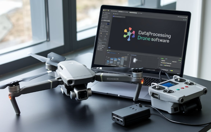
Data Processing Software
Turn drone data into actionable insights!
Our data processing software empowers you to analyze and interpret the information collected by your drone with precision and ease. From generating 3D maps and models to extracting key metrics for industries like construction, mining, and environmental monitoring, this software simplifies complex tasks. Its user-friendly interface supports seamless integration with your existing workflows, ensuring quick and accurate results.