Purpose: Portable mapping and surveying with high imaging quality
Features:
- Perfect for professionals who need quick deployment
- Detailed maps for tasks like infrastructure inspections and urban planning
- Camera: Micro 4/3” sensor
- Shutter: Mechanical shutter to eliminate motion blur
- Flight Time: Up to 45 minutes
- Usage: Detailed mapping and surveying
- Sensors: RTK GPS, photogrammetry
Base Price: ₹12,00,000 (~$14,201.89)
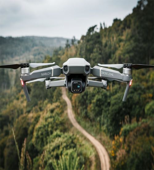
Narada
The Narada professional drone is crafted for high-precision mapping and surveying tasks. Its Micro 4/3” sensor delivers exceptional image quality, ensuring every detail is captured accurately, making it indispensable for industries such as urban planning, agriculture, and construction.
Equipped with a mechanical shutter, Narada eliminates motion blur, which is a critical requirement for producing sharp, clear images during high-speed operations. This feature significantly enhances its effectiveness in creating reliable and distortion-free maps.
With a flight time of up to 45 minutes, Narada offers extended operational capabilities, allowing for efficient coverage of large areas in a single mission. Its robust design ensures optimal performance even in challenging environmental conditions.
The drone’s advanced imaging capabilities make it ideal for generating detailed topographical maps, monitoring construction projects, and assessing agricultural fields. Its precision-engineered features cater to professionals seeking accuracy and efficiency in their operations.
Narada’s professional-grade specifications make it a versatile tool for tasks requiring high-quality imaging and data collection. Whether for land surveys, environmental monitoring, or industrial inspections, Narada is equipped to handle diverse and demanding applications.
With its combination of cutting-edge technology and ease of use, Narada stands out as a leading choice in the realm of professional-grade drones, delivering exceptional performance and reliability.