Purpose: Mid-range professional surveying and mapping
Features:
- Suitable for aerial imaging, terrain mapping
- Monitoring projects in real estate, agriculture, and environmental studies
- Camera: 1-inch CMOS RGB sensor
- Resolution: 6K video
- Flight Time: Up to 38 minutes
- Wind Resistance: 8-level
- Precision: RTK module for centimeter-level accuracy
- Sensors: RTK GPS, photogrammetry
Base Price: ₹12,00,000 (~$14,201.89)
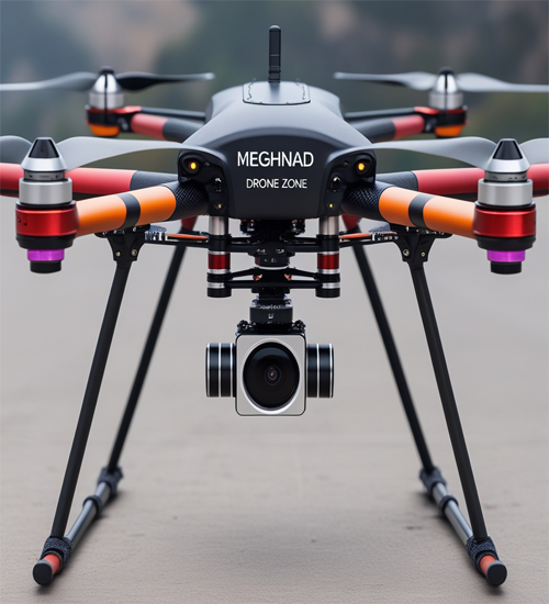
Meghnad
The Meghnad drone is a mid-range professional surveying drone, combining advanced imaging capabilities with rugged performance. Its 1-inch CMOS RGB sensor captures high-quality 6K video, ensuring detailed and accurate imaging for professional use cases.
With a flight time of up to 38 minutes, Meghnad is optimized for extended operations, enabling efficient coverage of large survey areas without frequent interruptions. Its robust 8-level wind resistance ensures reliable performance even in challenging environmental conditions, making it ideal for outdoor missions in varied terrains.
The RTK module integration provides centimeter-level accuracy, a critical feature for detailed mapping and surveying tasks. This ensures high precision in data collection, benefiting applications like land surveying, urban planning, and construction monitoring.
Designed for professionals, Meghnad strikes a balance between advanced features and cost-effectiveness. Its versatile performance and reliable functionality make it a trusted choice for mid-range surveying and mapping operations.
Whether it's creating detailed topographic maps or inspecting large infrastructures, Meghnad delivers the precision and efficiency needed to accomplish professional surveying tasks with confidence.